Distance Tool
Distance Tool
Free
Quickly measure distances and areas on a map. Drop points, draw shapes, calculate altitude, and share your measurements.
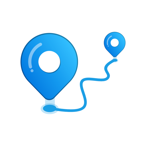
Measure any distance or area on a map

Distance Tool
Quickly measure distances and areas on a map. Drop points, draw shapes, calculate altitude, and share your measurements.
Measure any distance or area on a map
Drop pins on the map to measure distance between any number of points. Supports kilometers, miles, meters and feet.
Plan walking and driving routes between locations. Real road distances calculated automatically.
Drop any GPX file to view it instantly on a map. View tracks, waypoints and routes from your GPS device.
Calculate distance or area just by moving. Your phone's GPS tracks you in real time as you walk, run or drive.
Draw any shape directly on the map with your finger to instantly calculate its area and perimeter.
See elevation gain, loss and altitude profile for any route or path you measure.
Switch between kilometers, miles, meters, feet and nautical miles. Perfect for any use case.
Save your measurements and share them with a link. Recipients see your route on an interactive map.
Drop a GPX file below to see the route on a map. Your file never leaves your browser.
Or click to choose a file from your device
🔒 Processed entirely in your browser — nothing uploaded.
Calculate land area, distance and acreage in three simple steps
Tap to place pins along the path you want to measure. Use satellite or street view to find your location.
Distance updates in real time as you add points. Switch between units, view elevation, and plan your route.
Save measurements for later, share with a link, or export as GPX for your GPS device.
Trusted by hikers, cyclists, surveyors and anyone who needs accurate distances on a map
Measure trail distances, plan day hikes and backpacking routes. View elevation profiles before you go.
Plan running and cycling routes with accurate distance calculations. Track your favourite routes.
Calculate driving distance between cities, towns and addresses. Plan road trips and multi-stop journeys.
Measure walking distance to work, school or any destination. Plan walking commutes accurately.
Measure distances in nautical miles for maritime routes and flight planning.
Measure boundary lines, fence lengths and property perimeters with precision.
Distance Map is a free online tool and iOS app for measuring distances on a map. You can measure straight-line distances, walking and driving routes, and view GPX files. Perfect for hikers, runners, cyclists, and anyone who needs to measure distances accurately.
Open Distance Map and tap or click to drop pins along your route. The total distance updates in real time. You can add as many points as you need to measure complex paths.
Distance Map supports kilometers, miles, meters, feet and nautical miles. You can switch between units instantly.
Yes. Distance Map has a built-in GPX viewer. Drop any GPX file onto the page and it will be displayed on the map with distance, waypoints and elevation data. Works entirely in your browser - your file is never uploaded to a server.
Distance Map uses high-precision geodesic calculations on the WGS84 ellipsoid. Distances are accurate to within a few meters even over long distances. For routes, real road distance is calculated using mapping services.
Yes. Distance Map can calculate real walking and driving routes between points - not just straight-line distances. This is perfect for planning commutes, road trips and walking tours.
The iOS app works offline once map tiles are loaded. The web tool requires an internet connection to load the map.
Yes. Save any measurement and share it with a link. Recipients can view your route on an interactive map without needing to install anything.